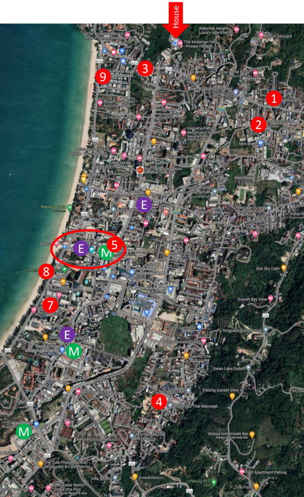
The map shown is approximately 3000m from top (North) where Sawan Sa Villa is located and down to the bottom (Soutn) and 1500m from left (west) to right (east). Bangla road area / centre of Patong is approx 1500m from the house.
Major roads in Patong
As you see, there are 5 roads going South-North. Counting from the beach, they are
- Beach road. This is one-way South-to-North. Lots of restaurants and shops
- Rat-U-Tit road. This is one-way North-to-South. You will normally use this to go to the center of town from the house. Lots of restaurants and shops
- Phang Muan Sai Kor Road. We call it the middle road. This is a 2-way street and the major cross-Patong traffic road. Less shops and restaurants, but have the Police Station, Patong Hospital, Jungceylon shopping mall and Baan Zaan fresh market on this road
- Nanai Road. This is the road closest to the mountain range around Patong, furthest from the sea. Lots of guesthouses, restaurants, bars and shops
- Ha Sip Bpee Road. This road is up on the mountain (the green area shown on the map). This road have many guesthouses and a few restaurants with good view.
There are many roads going West-East. Roads between Beach Road and Rat-U-Tit are one-way, with every 2nd road the opposite direction. This means that if you are driving and at Central shopping mall, you need to go to the south end to get onto the beach road (or middle road) to go back to the house.